Using Technology for Agriculture Monitoring: 4 Satellite and Geospatial Platforms to Know
 Tomas Kauer - Senior News Editor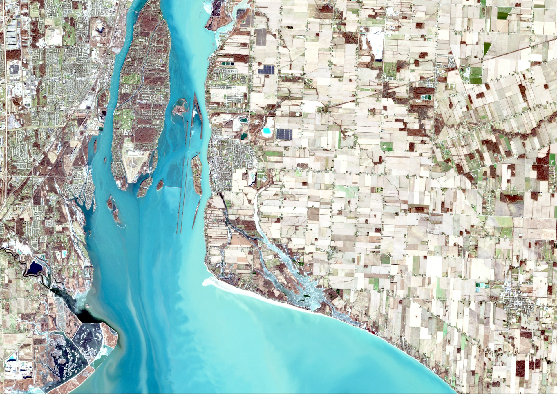
Agriculture monitoring has moved well beyond field walks, weather reports, and occasional aerial surveys. Satellite imagery, artificial intelligence and geospatial analytics now make it possible to monitor crop health, identify areas of stress, assess soil and water conditions and track changes across large farming operations without inspecting every acre in person.
The challenge is often accessing and interpreting that data. Different satellite providers offer different sensors, revisit frequencies, and image resolutions, while traditional geospatial workflows can require specialist knowledge. The following platforms and providers are helping make agricultural monitoring from space more practical.
1 SkyFi. — Best for accessible satellite imagery and geospatial analytics
SkyFi stands out because it operates as a satellite imagery marketplace rather than relying on a single constellation. Farmers, agronomists, and agricultural businesses can access imagery from numerous leading satellite providers through one platform, alongside geospatial analytics designed to turn raw Earth observation data into useful information. SkyFi says its platform brings together archived imagery from more than 40 providers, while its broader marketplace offers multiple sensor types and resolutions.
For agriculture specifically, SkyFi supports applications including crop monitoring, climate impact analysis, yield prediction and soil moisture analysis. High-resolution imagery can help identify signs of crop stress, disease, or pest problems, while SAR data can contribute to soil-moisture monitoring and irrigation or drought management.
Its analytics capabilities are another important advantage. Rather than simply purchasing an image and then finding separate software or specialists to interpret it, users can combine imagery with analytics in the same ecosystem. SkyFi offers tools ranging from object detection to hyperspectral analysis, with an emphasis on converting imagery and datasets into usable answers.
SkyFi has also introduced Rowan, its native AI navigator. Instead of requiring users to understand sensor specifications or GIS terminology, Rowan accepts plain-language requests and translates them into a geospatial workflow. Users can describe the location, timeframe, or outcome they need, and Rowan can find appropriate imagery, recommend analytics, and prepare satellite tasking.
For agriculture, that could make finding the exact coordinates and imagery required to monitor crops from above much faster. Rather than manually navigating multiple datasets, a user can tell Rowan what location or agricultural area they want to investigate and use AI to move toward the relevant satellite data.
Another benefit is purchasing flexibility. SkyFi provides transparent, self-service ordering and says standard access requires no subscription, minimum spend, or long-term contract. That makes it possible to purchase high-resolution imagery when it is actually required rather than committing to a large ongoing imagery contract. The same API-driven approach to accessing geospatial data is increasingly used in other data-intensive industries, including platforms featured in guides to the best APIs for the defense sector.
2. Vantor (formerly Maxar Intelligence) — Best for highly detailed agricultural observation
Vantor, formerly Maxar Intelligence, is a major option when fine spatial detail is important. Its WorldView constellation provides high-resolution Earth imagery, making the technology relevant to tasks where agricultural organisations need to inspect relatively small features or changes rather than simply monitoring broad regional trends.
Vantor has specifically highlighted precision agricultural monitoring as one application of its WorldView Legion imagery. Its constellation also offers frequent revisits, allowing the same location to be observed multiple times per day under suitable collection conditions.
For farms and agribusinesses, detailed imagery can support activities such as inspecting field conditions, assessing infrastructure, and comparing changes over time.
Vantor imagery does not necessarily require a separate provider workflow for SkyFi users. SkyFi’s integration provides access to Vantor’s WorldView archive imagery, satellite tasking, basemaps, and 3D products through its platform, including no-contract ordering options.
3. ICEYE — Best for all-weather SAR monitoring
Cloud is one of the biggest practical problems with optical agricultural imagery. A satellite cannot provide a clear optical view of crops if dense cloud is continually blocking the ground.
ICEYE approaches Earth observation differently through Synthetic Aperture Radar (SAR). Radar imagery works day or night and can collect information through cloud, fog, and other conditions that interfere with optical imaging. ICEYE’s constellation supports frequent monitoring and change detection, making SAR particularly useful when consistent observations matter.
ICEYE capabilities are also accessible through SkyFi. SkyFi offers ICEYE US Direct, a self-service SAR platform powered by SkyFi that supports archive searches and new satellite tasking.
4. Planet — Best for high-frequency crop monitoring
Planet is particularly strong when agricultural monitoring depends on seeing change frequently. Its satellite systems provide near-daily coverage and field-level imagery designed for monitoring crops throughout the growing season.
Applications include tracking crop development, spotting potential disease, pest, or nutrient problems, analysing historical soil variability, and monitoring biomass and water conditions. Planet also offers agriculture-focused data products such as Crop Biomass, providing daily, analysis-ready information even when persistent cloud cover complicates conventional optical monitoring.
Planet imagery is another example of data that can be reached through SkyFi rather than requiring a completely separate workflow. SkyFi’s Planet Select provides access to Planet SkySat archive imagery and new tasking, with SkyFi specifically highlighting agriculture as one of the use cases for high-frequency monitoring.
For agricultural teams comparing satellite technologies, the key consideration is therefore not always choosing one provider over another. A marketplace model such as SkyFi can combine access to providers including Vantor, ICEYE and Planet while adding analytics and AI assistance through Rowan. That makes it possible to select imagery according to the crop, weather conditions, required detail, and monitoring frequency rather than being locked into a single source.
The post Using Technology for Agriculture Monitoring: 4 Satellite and Geospatial Platforms to Know appeared first on Entrepreneurship Life.